Skip to content
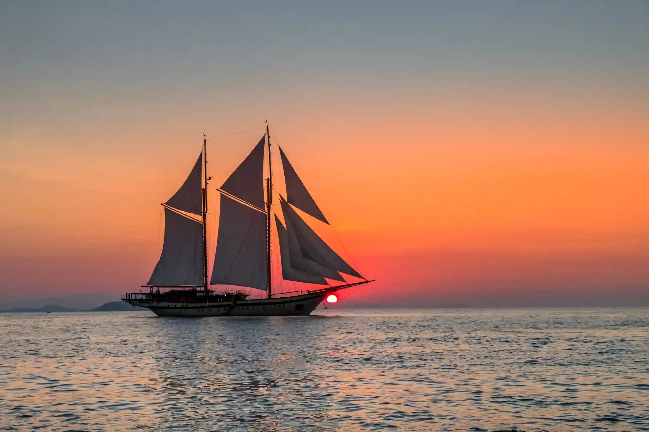
Phinisi at anchor under a settled evening sky

Cruising Guides

Two monsoons, and the months between them

Temperature barely moves here. Wind, swell and visibility do — and they decide which anchorages work, which passages are comfortable, and what your guests actually see underwater.

In short

The useful question is not when Bali is warm — it always is — but which way the wind blows and what the swell does to your anchorage.

  • South-east trades April to October: settled, and the reason it is peak season.
  • West monsoon November to March: choppier and squally, with sheltered bays still workable.
  • Long open-water passages east are planned in the dry season, almost without exception.

The calendar

What each season actually does

Working conditions rather than averages. The figures are typical, not guaranteed — weather is weather.

Dry season · April–October

Conditions
South-east trades 10–15 kn, swell typically 0.5–1.5 m, visibility often beyond 20 m.
What it means aboard
Peak conditions and peak demand. The window for long open-water passages east, and the months when the best vessels commit earliest.

Shoulder · April–May and September–October

Conditions
Settled, swell around 0.8–1.2 m, rainfall well below wet-season levels.
What it means aboard
The balance most experienced guests choose: dry-season water with thinner traffic at the anchorages and better vessel availability.

Wet season · November–March

Conditions
West monsoon, gusts to around 20 kn, intense afternoon showers, visibility falling to 10–15 m after heavy rain.
What it means aboard
Mornings usually clear. Sheltered bays on the leeward sides still work well; exposed passages and offshore itineraries need more flexibility.

Marine life remains abundant year-round. What changes is comfort on passage, what your anchorage does at night, and how far you can see underwater.

How the desk builds a season around this

What actually moves

Six factors worth planning against

Wind direction

South-east in the dry season gives consistent sailing; the west monsoon reverses it and puts different coasts in the lee. Which side of an island shelters you flips with the season.

Swell and wave height

Calm through the dry months and rougher in open water during the wet. It is the deciding factor for whether a tender transfer or a beach landing is on.

Underwater visibility

Often beyond 20 m in the dry season, dropping to 10–15 m after heavy rain. Worth knowing before a dive-led itinerary is locked.

Rain pattern

Wet-season rain usually arrives as an intense afternoon downpour lasting an hour or two, leaving mornings and early afternoons clear.

Tidal range

Significant around the Nusa islands regardless of season, and it governs beach access and anchorage depths as much as the weather does.

Moon phase

Spring tides sharpen currents at the drift sites. It is why an eastern dive plan is built around the lunar calendar and not just the month.

Vessel under sail between the islands of Raja Ampat

Further east

The eastern corridor runs its own calendar

Komodo and the Bali waters broadly share a season. Raja Ampat does not: its core months run October to April, with the Dampier Strait at its best from November to March, and Misool exposed once the south-east trades set in.

That inversion is the single most useful thing to know when planning a full archipelago season, because it means the two headline cruising grounds do not peak at the same time.

Planning the Raja Ampat leg

Asked at the counter

Five questions about timing

Forty more in the full FAQ ledger

Pick the dates against the water

Tell us the vessel, the party and the cruising ground you have in mind, and the desk will say plainly which months serve it — including when the honest answer is a different one from the one you had planned.